Monthly Archives: May 2012
Nenthead and Rampgill 13/05/2012
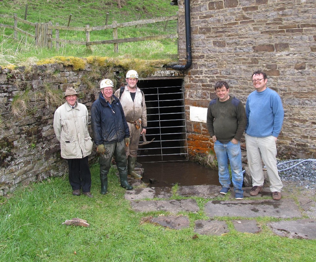
6 members of CMHS turned out to show their support for the formation of the new society that aims to conserve the Nenthead Mines site.
Although it took the combined power of all 5 members to restrain John when it was suggested that ‘non-internet’ users may have to pay more to receive hard-copy communications.
After we managed to prise Gavin away from the free scones, the group had a quick but interesting blast around Rampgill taking in the Horse Whim before pushing through the NORPEX digs, past Rampgill Shaft and beyond the Boundary Gate into Northumberland.
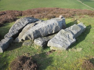
Ayton Monument (40 years ago)
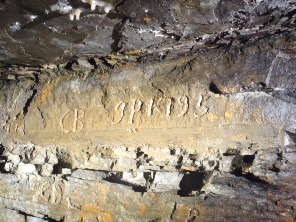
On Saturday we had the good fortune to meet an NMRS member who had been to Ayton Monument 40 years ago with John Owen, what follows are some observations he sent me.
Protected: NMRS Monument Meet 5/5/2012
Clitherbeck Coal 30/4/2012
After a brief visit three years ago, I returned with Chalky from the NYMCC to take a look at the site again as he’s particularly interested in the water flowing out of the workings.
The first point of note “1” was a capped shaft that I had missed on a previous visit, I need to return for a depth measurements and to lower a camera through the gap as it looks interesting.

Point “2” is the fenced and capped shaft I had previously visited in 2009 but with a new photo down added.
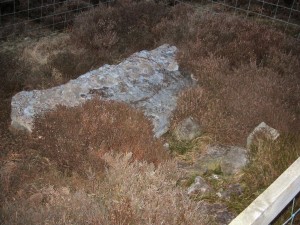

Point “3” is the final capped shaft, again with a new photo through the crack.
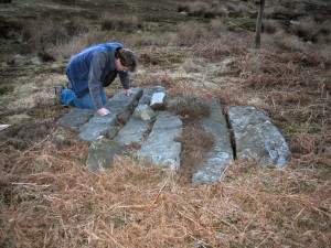

Flowing water can be heard in shafts 1 and 2 with shaft 3 sounding sumped.
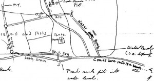
Point “4” on a similar alignment appears to be a flooded pit, perhaps the one labelled as ‘Proud Sinks Pit Into Water Level” on the old map.
Next we made an effort to look for the two old water levels in the beck suggested by previous research and maps, there was no sign of either of these, although a trickle of water was emerging around point “5” with a scatter of stones on the ground.
Next port of call was the outfall at point “6” which made Chalky very happy indeed when he took some water samples and measurements, bits of coals were even visible in the water bubbling up.
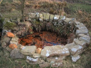
The next appearence of water is at point “7” which is approximately that marked as ‘Lord Downes Pit” on the old map and a manhole and cattle trough at point “8” which seemed more like a spring rather than mine water.
Another interesting area was that around point “9” where a further shaft that was pretty much the twin of the one at point “6” was found, although this one was blocked and dry, nearby at riverside there was some ocherous water leeching out, although I suspect this blockage is forcing the majority of the water out of point “6” if the water level follows the suggested line to this point.
All in all, theres a lot going on Clitherbeck that probably warrants a lot more research.
