Author Archives: chris.twigg
Protected: Simons Meet Report 21/01/2012 (Members)
Normanby Air Shaft
Reply
John Dale sends us this picture of the air shaft at Normanby which he recently visited, although I think clearing this might be a little beyond our capabilites at the moment.

Notes regarding Birdforth Colliery. 8th Nov. 1990.
On the morning of the above date Dr S.R. Eyre and I went to view this site along with Mr Philip Ogden, who once owned the land on which some of the mines were located.
Mr Ogden showed us an iron coal-pick, and a clay tobacco pipe-bowl, which he had found on the site some years ago.
We consulted the 1853 OS which Dr. Eyre had with him.
We then walked along the raised stone track, which lead to the supposed site of the pump-house.
Mr Ogden pointed out a post in the hedge-back, which he said was the point where a hedge once ran into the field, when he removed the hedge some years ago, he found the outline of a small building, (foundations) on a level part, at the end of the track, under the hedge, at a corner of these “foundations” was a flat stone, under which he found clay pipe stems, and a clay tobacco pipe bowl. Further along the hedge,(although maybe not at the same time,) he found the coal-pick.
Mr Ogden next showed us where he thought the main coal-workings were sited, he said, in that location the land was black and heavy, whilst the rest of the field was light and rather sandy. (I found some shards of pottery in this area, which are still in my possession.)

We were told of a mine-shaft location in a hedge-back, which could still be identified when Mr. Ogden moved to the farm in 1938 or 39.
We discussed a set of buildings, which were approximately half way up the hill on the road-side, which Mr Ogden thought had been stables connected with the mine-workings, however, Dr. Eyre suggested they could be much later, infact dating from the 1870s, as they were not shown on the OS.
These buildings, at the time of our discussion had been demolished for some time.
I looked into them prior to their demolition, they were long and low, and could indeed have been stables.
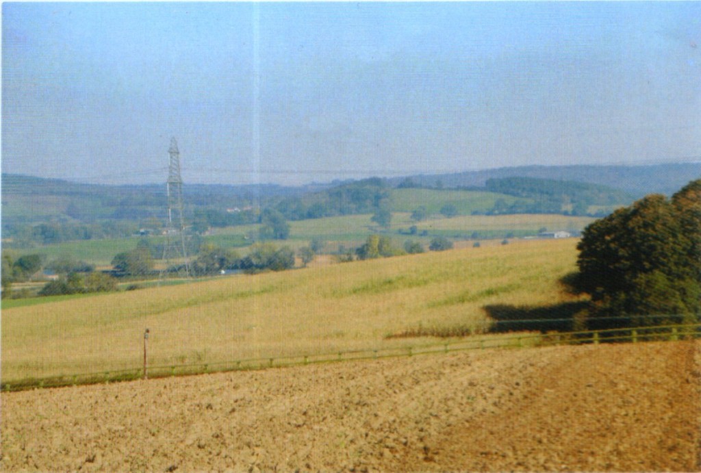
I do not remember the type of brick with which they were built, however, I feel sure they were hand-made, and maybe even 2″, perhaps a re-use of second-hand material ?
Mr Ogden had the clay pipe bowl dated, he was told it was late C18.
Perhaps the small building, under the floor of which it was found had been some kind of workman’s hut ?
John Butler
30.1.2003.
Protected: Brief Meet Report 21/01/2012 (Members)
Protected: News January 2012 (Members)
Saltburn Alum Works
New posting added to Hidden Teesside
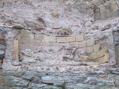
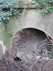
1914 Culvert under Chalenor Ironstone Tramway
New posting added to Hidden Teesside
Protected: Meet 07/01/2012 (Members)
Meet 29/12/2011
The group walked from Robin Hood’s Bay north along the old railway track, now referred to as The Cinder Track, to Clock Case Nab to look at the sites of extensive jet mining activity.
A display board at the station car park declares that cinders were used as ballast on the railway instead of the ‘…usual crushed stone.’ Surely weren’t railway trackbeds ballasted with ashes from engine sheds until more recent times when crushed stone was introduced because of its greater ability to bind together and support heavier and faster trains. Yet again an interpretive panel conveying dodgy information!
On the cliff edge at Clock Case Nab we climbed down onto the ledge or dess cut into the cliff face for working the jet seam. Apparently the mining of jet was allowed along a narrow strip of cliff edge, its inland edge defined by a stone wall; presumably this was to protect productive agricultural land from damage. Originally quite a broad dess was probably defined, the spoil being simply tipped over the cliff edge into the sea from the initial quarrying. As the depth of overburden increased it became necessary to commence mining by driving small drifts into the cliff at the lowest level of the jet seam; inevitably these drifts being generally small.
Southwards around Crase Nase the dess or working level is less well-ordered and comprises a ledge below the cliff top full of spoil mounds, barrow-ways, and several drifts, both collapsed and open. We herded into one drift to get out of the cold wind; it was all of 5 feet high and about 10 feet deep into the shale cliff. Another one nearby seemed to have been driven deliberately parallel to the defining stone wall.

Clockcase Nab (Date Unknown)
Any jet mined from here would have been sold in Whitby and the period of working of these particular quarries seems to have been between about 1830 and 1900, although in the cliffs and on the foreshore nearby jet mining and collecting still goes on occasionally today.
We returned along the cliff top to Robin Hood’s Bay car park via the posh streets of Baytown built to take advantage of the view across the bay, and the nearness of the railway station. Lunch was taken in the car park at the former station, amongst the crowds of people determined to enjoy the festive break.
The afternoon was spent at Castleton looking at the two inclines which rise steeply above the north side of the railway station which is still known in railway parlance as ‘Castleton Moor’ for some obscure reason.
A large stone building housed a stone crushing plant and survived here until a few years ago when it was demolished and the site to house small business units. Stone came down an incline to the crusher, passing over a track by a bridge of which a well-made abutment and single pier still remain.
The climb up the eastern incline over the heather covered hillside was invigorating in the cold wind and drizzle, enlightened by finding the odd length of narrow gauge rail. Near the top is a single kip among very extensive quarries, both from the earliest sandstone quarries and later ganister workings. We also found a valve at the base of a dam for a former reservoir.
Heading west across the quarried ground we came to the top of the western incline where bits of worn metal remain, presumably from the brake gear of this self-acting incline, and several sections of stone wall from associated buildings, surprisingly roughly built.
The western incline is narrower than the other one but only slightly shorter, finishing abruptly at a track just above the whinstone quarry with no sign of any tipping point.
Quite a large whinstone quarry has operated at Castleton but is now largely filled in and its western end occupied by a rather neglected tennis court.
Altogether a visit to two interesting but largely unpublished sites worth much more investigation and recording.